


The walking trails of Southern England are some of the best in the world.
We provide maps, badges and guides to help you enjoy these trails to the full.
Click on any image to go to the shop page.
SOUTH DOWNS WAY TRAIL BADGE
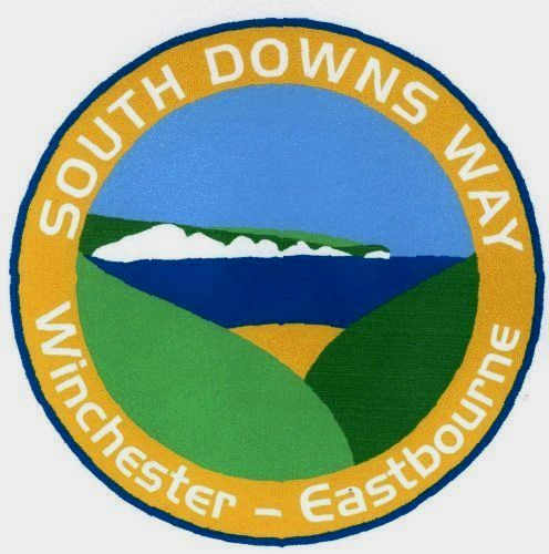
The most popular item in our range.
Woven into a 3 inch circular badge, it features the Seven Sisters seen through a cutting in the South Downs with a hint of the coastline onf the English Channel.
It is competitively priced at just £3 plus p&p and is available for prompt despatch by post.
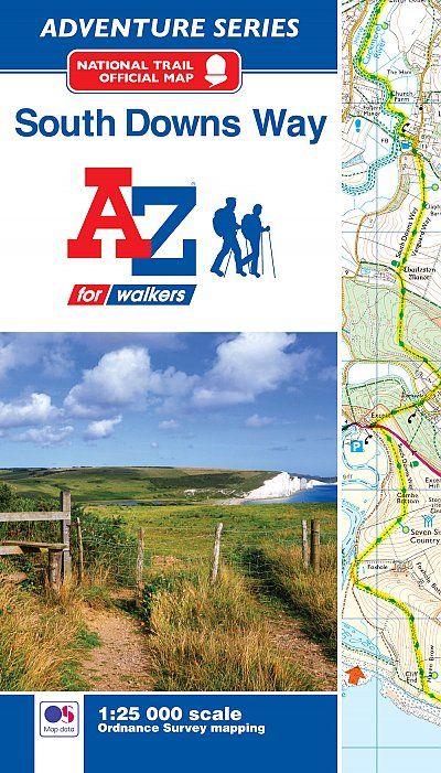
A Z MAP OF THE SOUTH DOWNS WAY
The perfect map for walking any section OR the whole trail.
The mapping is based on the Ordnance Survey 'Explorer' maps of the complete route from Eastbourne to Winchester and it shows the National Trail quite clearly highlighted.
We offer this at its marked price of £8.95 plus p&p and its available for immediate despatch to any UK address.
WEST SUSSEX LITERARY TRAIL GUIDEBOOK

This is the trail we created ourselves from Horsham to Chichester Cathedral. Although the route is well marked on the O.S. Explorer maps (no.s 120 & 121) we really need our 120 page guidebook to fully appreciate this lovely walk.
The guide not only gives detailed route directions but each section tells the story of all the literary characters who lived in the area you will be pasing through.
It makes for a very special kind of long-distance walk.